geoo.app
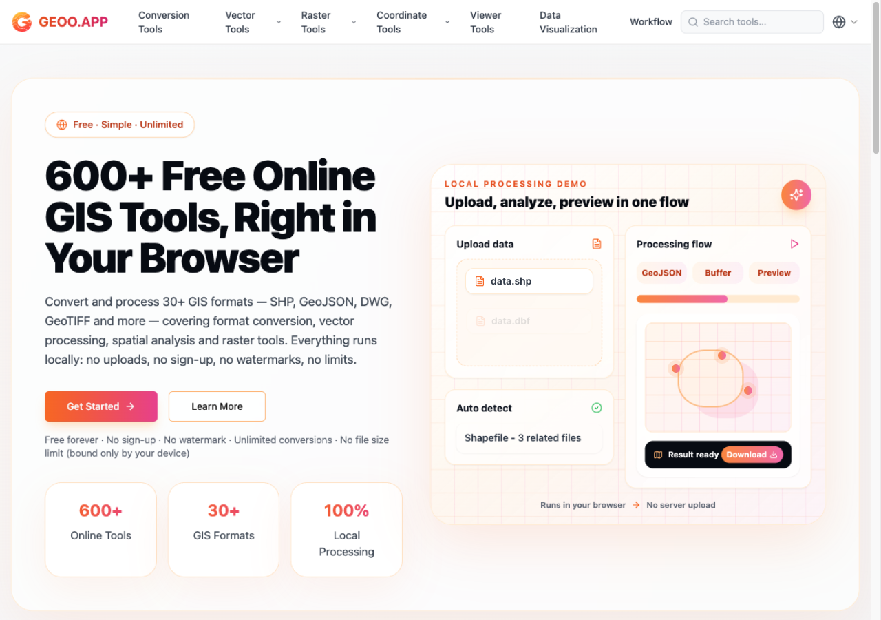
600+ free GIS tools that run entirely in your browser — convert, reproject and visualize geospatial data without uploading a single byte.
- WebAssembly
- GDAL
- JavaScript
- proj4js
- shpjs
What it is
geoo.app is a free, browser-based geospatial toolbox — 600+ tools covering the jobs GIS data actually needs done, with zero installs and zero accounts.
The problem
Every "online GIS converter" asks you to upload your data to somebody's server. Desktop GIS asks for a license and a 2 GB install for a 5 MB job. geoo.app refuses both trade-offs: the conversion engine ships to you, and your files never leave your device.
Highlights
- 500+ conversion combinations across 30+ formats — GeoJSON, Shapefile, KML/KMZ, GPX, CSV, TopoJSON, DXF, DWG, GeoPackage, GeoTIFF, WKT, and more
- Coordinate transforms for thousands of CRSs (searchable by EPSG code), all UTM zones, and the Chinese GCJ-02 / BD-09 systems, with batch processing
- Raster toolkit — format conversion, clipping, reprojection, band operations
- Workflow chaining — combine convert → reproject → clip into one flow
- Viewers, a georeferencer, and batch CSV geocoding (via OpenStreetMap's Nominatim)
- Stream-based parsing keeps files of hundreds of MB responsive; interface in 11 languages
How it's built
GDAL/OGR compiled to WebAssembly does the heavy lifting in-browser, backed by open-source geospatial libraries (proj4js, shpjs, @tmcw/togeojson). Stream-based parsing avoids loading whole files into memory. There is no processing server — which is why "your data never leaves your device" is an architectural guarantee, not a privacy promise.
Read the launch post: Introducing geoo.app.